Seoul Clock
A city-sized clock is drawn on Seoul, Korea. Its hour hand and minute hand are white and the second hand is red. When any of the hands passes one's location, s/he can see its color with the Void Drawing web application.
Void Drawing
The aspen forest 'Pando' is a 4.3-hectare sized living creature. The trees of the forest are connected to one massive underground root. The structure of the electronic network is similar to the forest. If we think of a terminal or a communication device as an aspen tree, the whole electronic network system can be regarded as the forest. The electronic network is the largest artificial structure covering the earth and expanding to space.
The Global Positioning System (GPS), a part of the electronic network, is filling the space around the earth with numbers in accordance with the World Geometric System. The numbers are a kind of air we live in and I call it, 'Numerical Aether'. Its molecule is composed of latitude, longitude and altitude values. This makes the real space as a screen-like space to be drawn in.
Void Drawing uses location information of the real space (latitude, longitude and altitude) and color data to draw images in the real space. A mobile device running the custom web application can show the current location’s color of the image drawn by the works of the Void Drawing project. For example, a red rectangular covering Seoul City Hall is drawn and if you are inside the place your smartphone will display red otherwise it will display black.
GPS covers the whole surface of the earth whose area is 510,072,000km². If we assume that the surface of the earth is square and the error bound of GPS is 5m, the earth can be thought of 142,838 x 142,838 pixel wide display.

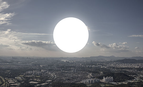
Earth TV
The work draws real-time TV stream on the surface of the earth. Each pixel of the image is allocated to its actual position of the earth. One can see the color of the pixel corresponding to his/her current location with the Void Drawing web application.
The work was made with Openframeworks and Triangle(Delaunay Triangulator).
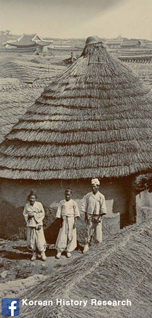
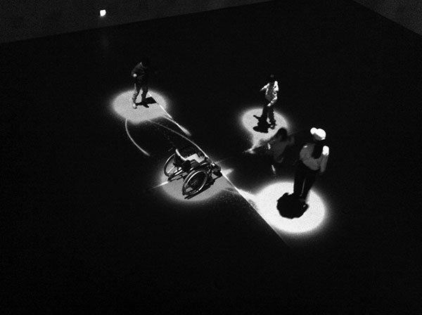
Code Drawing * Photographer: Kim Dongwon
This work is a collection of images that show the concept of the Void Drawing project, which is about drawing images in the space around the earth using latitude, longitude and altitude as a coordinate system.
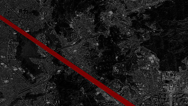
Circle - Songpa-gu
Point A: 37°29’51.53” N, 127°07’45.01” E, elevation 2.08 km, Point B: 37°30’37.68” N, 127°08’01.83” E, elevation 0.6 km, Diameter: 1.48km , voidDrawing.circle(37.497647, 127.129169, 2080.0, 37.510467, 127.133842, 600.0); // (latitude_A, longitude_A, altitude_A, latitude_B, longitude_B, altitude_B);
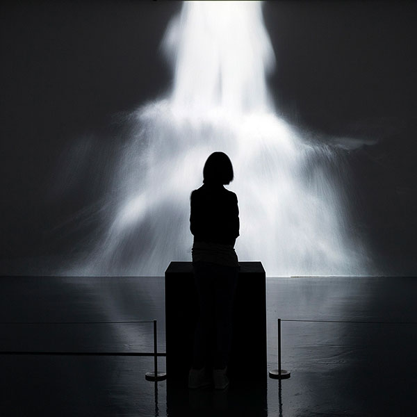
SUSEOK at Danwon Art Museum, Jul. 2017
Suseok, Dec. 2016 Interactive video installation.
“Suseok” (수석, 水石) is the Korean term for small, naturally-formed rocks that are valued in accordance to tradition, also known as “viewing stones.”
The letter “Su” stands for “water,” while “Seok” means “rock.”
B&P Jihoon Byun, Jaegon Lee and Mookyung Kang, May. 2012
Interactive installation for Hyundai Motor Group Pavilion, Expo 2012 Yeosu Korea.
Jihoon Byun
Void Drawing